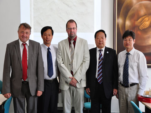
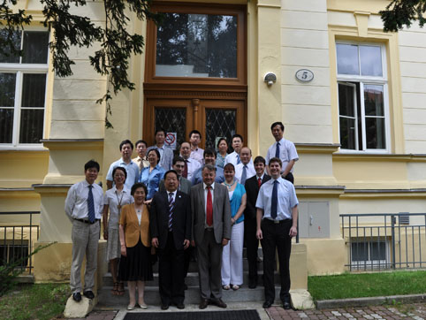
7月5日至7月11日,李德仁院士等人前往捷克考察喀斯特地貌和三皇会战古战场,并于7月6日应捷克Masaryk大学Milan KONEČNÝ教授的邀请前往布尔诺市进行遥感与GIS领域的学术交流。Masaryk大学的理学院院长Jarmoír LEICHMANN 副教授,地理所所长Petr DOBROVOLNÝ 副教授接见李德仁院士等人,并表示了热烈的欢迎。随后李德仁院士、刘耀林教授、马洪超教授分别作了题为“New Era on Geoinformation”, “Land Use Database Generalization Indices Based on Scale and Land Use Pattern Metrics”和“Airborne Topographic LIDAR: Principles, Application, Works”的学术报告。Masaryk大学Milan KONEČNÝ教授等6名师生做了相关学术报告,双方在报告后做了积极的学术讨论。
Milan KONEČNÝ教授等6名师生报告具体如下:
(1) M. KONEČNÝ: Main Laboratory Research Projects
(2) K. Stanek: Cartographic Generalization Procedures for the Adaptive Mapping in the Emergency Management
(3) L. Friedmannova: A Design of the Task Oriented Symbol System
(4) Z. Stachoň: Perception of Cartographic Representations under Specific Condition
(5) T. Řezník: Metadata and Standardization in SDI
(6) R. Štampach: Cartography of Health Data: Way to Inform People
|